Centennial Sponsors
Our Sponsors


Points of Interest
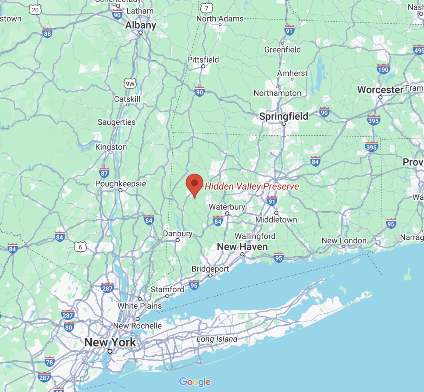
Donated to the Steep Rock Association by the Van Sinderen family in 1963, Hidden Valley also includes a rocky high point and small meadows, accessible by hiking trails.
1. The HV Lookout
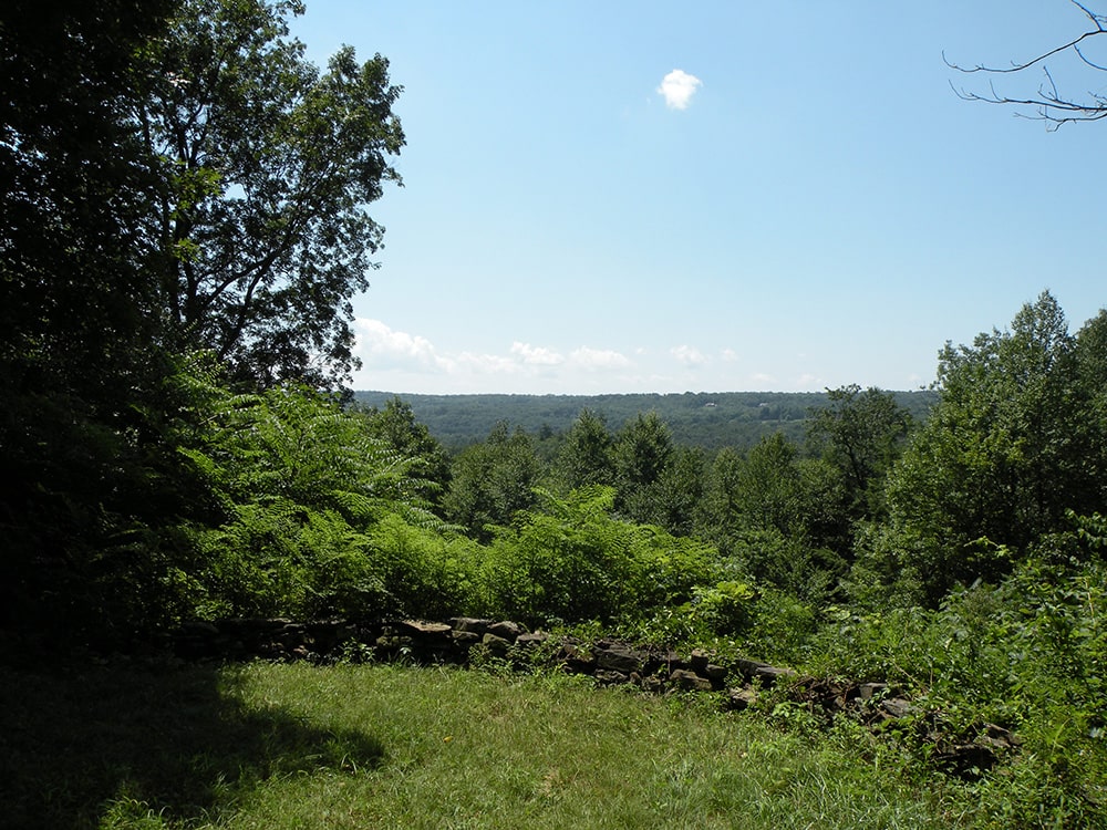
The Lookout is a semi-circular terrace providing scenic views of the valley to the west. It was constructed as a lookout and rest spot along the carriage roads built by Adrian Van Sinderen. Overhung by trees in places, this is a great spot for a picnic.
Directions to the HV Lookout
From the main parking area (120 Bee Brook Rd.), follow the President’s Trail, blazed with orange squares, a few hundred feet along the Shepaug River.
2. The Quartz Mine
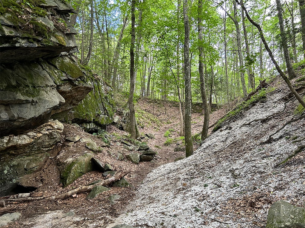
The Quartz Mine once helped support a small mining industry in the 19th Century. This surface mine was active from the 1800s until it was abandoned in 1915. The quartz, used as a filler in paint and as an abrasive, was initially transported from here to the Hudson River by wagon and, later, by train. Quartz normally forms beautiful hexagonal crystals, but the mineral developed at Hidden Valley Preserve as a massive white vein.
Directions to the QUARTZ MINE
From the main parking area (120 Bee Brook Rd.), follow the President’s Trail, blazed with orange squares, a few hundred feet along the Shepaug River.
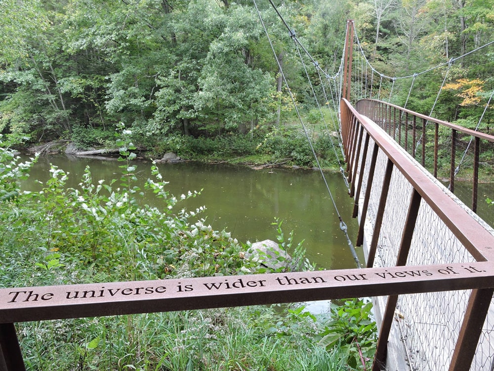
3. The Thoreau Bridge
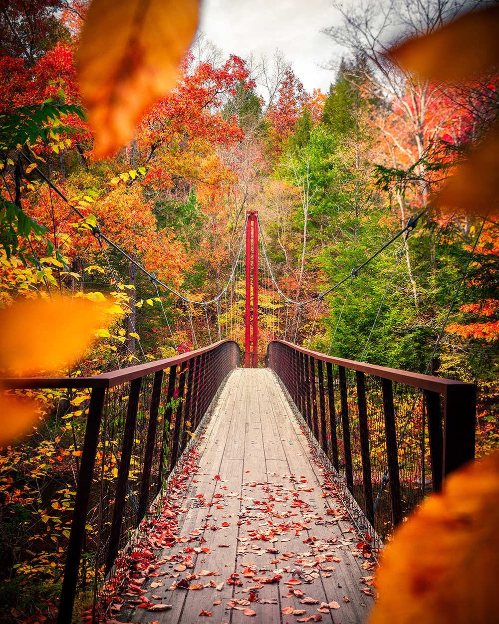
The Thoreau Bridge, located at our Hidden Valley Preserve was designed by Gray Organschi Architecture in New Haven and funded by The Gould Family Foundation, a grant form the State of Connecticut, and a number of individual donors. The bridge design is a product of the collaborations with wetland soil and wildlife biologists and introduces innovative and sustainable construction techniques for sensitive ecological areas.
The Thoreau footbridge is a cable stayed, mass timber suspension bridge spanning 134′ across the Shepaug River. The bridge deck rises to clear the 500 year flood level and then sweeps 90 degrees as it gently ramps down to the north side of the river.
Quotes from Thoreau’s seminal writings, inscribed by water jet into a bench at the cliff base and along the bridge’s steel handrails, offer moments for reflection.
Directions to the THOREAU BRIDGE
From the main parking area (120 Bee Brook Rd.), follow the President’s Trail, blazed with orange squares, a few hundred feet along the Shepaug River.
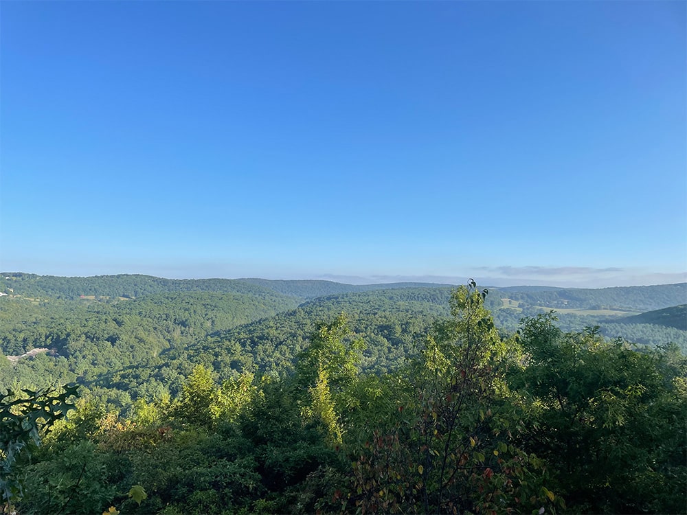
4. The Pinnacle
Rising to an elevation of 820 feet, the Pinnacle rewards visitors with a panorama of one of Washington’s Historic Districts. The view from the mountain’s weathered summit, which is crowned by a plaque honoring one of the Preserve’s founders, Adrian Van Sinderen, provides a 270-degree diorama of the valley, and to the north, the protected ridge of Macricostas Preserve.
Directions to the PINNACLE
From the main parking area (120 Bee Brook Rd.), follow the President’s Trail, blazed with orange squares, a few hundred feet along the Shepaug River.
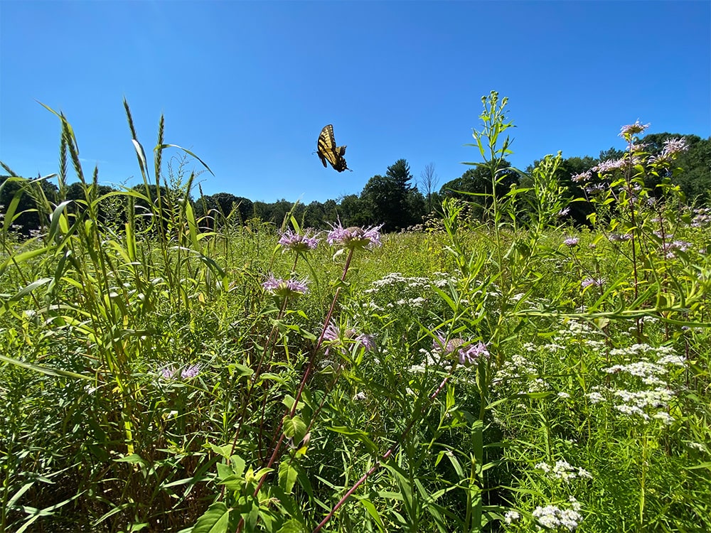
5. Bronson Fields Pollinator Meadow
Lorem ipsum dolor sit amet, consectetur adipiscing elit, sed do eiusmod tempor incididunt ut labore et dolore magna aliqua. Ut enim ad minim veniam, quis nostrud exercitation ullamco laboris nisi ut aliquip ex ea commodo consequat. Duis aute irure dolor in reprehenderit in voluptate velit esse cillum dolore eu fugiat nulla pariatur. Excepteur sint occaecat cupidatat
Directions to the PINNACLE
From the main parking area (120 Bee Brook Rd.), follow the President’s Trail, blazed with orange squares, a few hundred feet along the Shepaug River.
FAQs & Rules
Please help us protect the natural beauty and integrity of the preserve by not removing or destroying plants, animals, rocks, minerals or other natural objects. Click below to see how you can best help us protect the environment.
Rules of hidden valley preserve
- Cross-Country Skiers: Please set tracks on one side of the trail only.
- Hikers, Snowshoers and dogs please respect ski tracts by keeping to the other side of the trail.
Winter trail rules
- Cross-Country Skiers: Please set tracks on one side of the trail only.
- Hikers, Snowshoers and dogs please respect ski tracts by keeping to the other side of the trail.
Mountain bike rules
- Cross-Country Skiers: Please set tracks on one side of the trail only.
- Hikers, Snowshoers and dogs please respect ski tracts by keeping to the other side of the trail.
